End2end Day 3 – 4 km

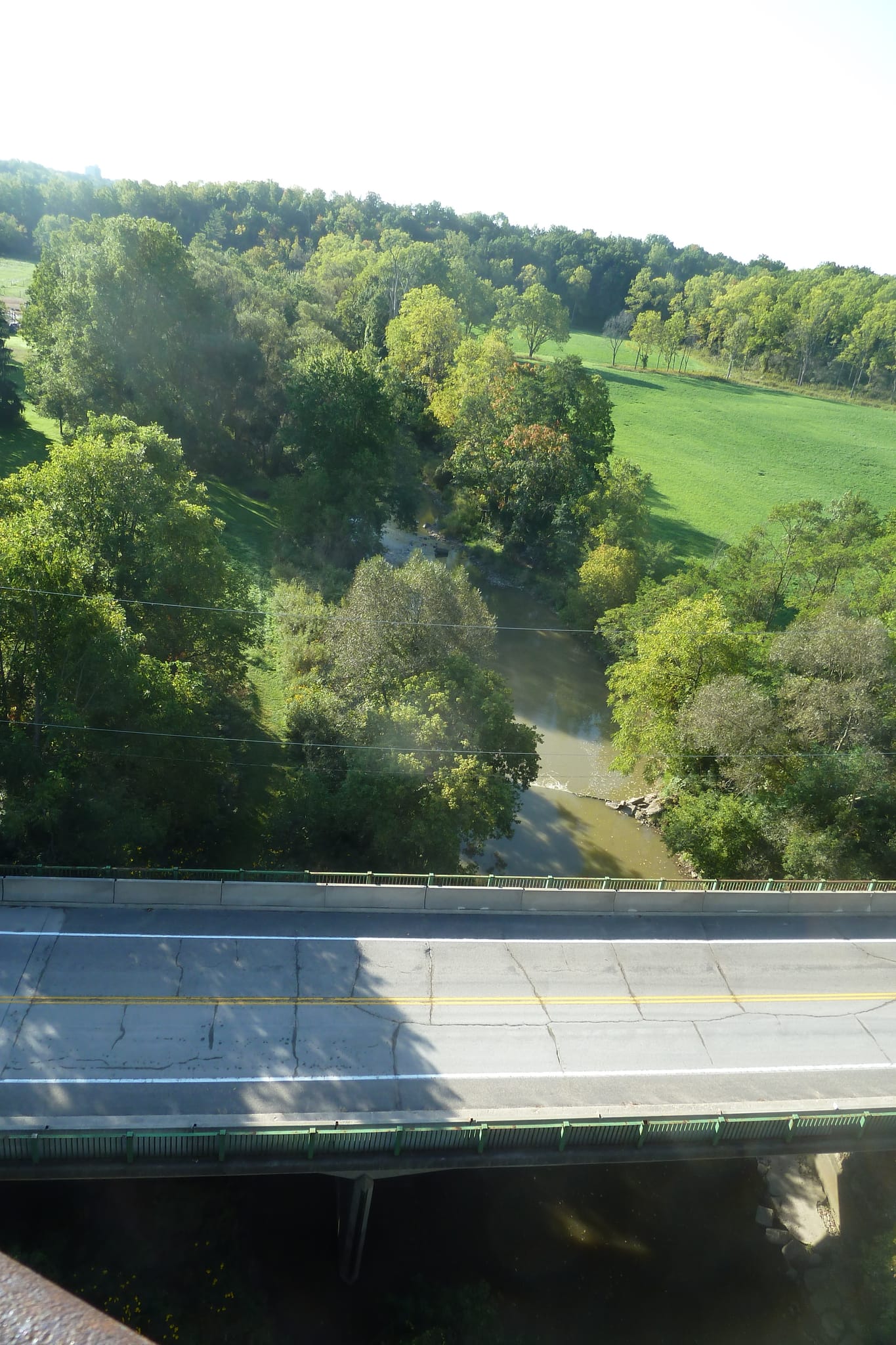
Due to the skies looking threatening, it was decided to venture onto the next leg of the journey. Construction is taking place on Sunset and the usual parking lot under the bridge is closed. Parking at the new lot on Centre St at the east side of the Elevated Park we ventured onto the Park which is over 30 metres above Kettle Creek. The bridge was built in 1929 during the times when rail was the best way to move large quantities of goods long distances.


The St Thomas-Elgin Public Art Centre has installed some creative art on the approach to the bridge and further down the trail at Deer Ridge Farm and at Lyle Rd.

The New England Aster was in bloom and their seeds are a good source of food for the birds in winter.
At the west end of the bridge we venture north and follow a fence around the top of the trail near the Osage Orange tree, their are several in the area. This connects to the trail and we venture down the hill under the bridge to Fingal Line. Fifty metres up the road we venture into the woods and follow the top of the ravine. There are several up and downs until we come out on Sunset Drive. This
is the end of the wooded journey. Right on Sunset Drive takes us to a left turn onto Chester Street, turning right onto Henry’s St and walked the roadway on the north side of St Thomas Cemetery and exiting at the entrance onto West Ave. Turning right onto Ada St to Wilson Ave, following it a short distance to Elm St, turning right again take Elm St to traffic light and cross Sunset Dr. Two hundred metres south we are at our destination for today, Sunset Cafe.
Weather held off and had a great hike getting to see the Elevated Park.
Thanks to Jim for leading this hike.
Al Sharpe